SeVere Reflectivity IMaGes Dataset (SVRIMG)
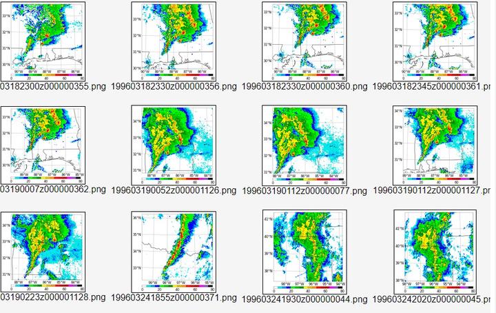 SVRIMG Image Examples
The SVRIMG webpage provides a “one stop shop” for over 500,000 data rich, geospatial, radar reflectivity images centered on high-impact weather events. These images have consistent dimensions and intensity values on a grid with relatively low spatial distortion over the Conterminous United States. So, they are perfect for training and validating machine learning models. Crowd-sourced labels will provide a consistent dataset on which to test model performance. We also plan to provide pre-trained models, either generated from unlabeled (GAN) or labeled images. The goal is to create a “model zoo” for a variety of applications and to promote competition to create the best model.
Alex Haberlie
Assistant Professor
My research interests include applications of data science in climatology and meteorology.